GeoCapabilities StoryMap Illustrates the “Power” of Geographical Knowledge
Since 2012 NCRGE has been participating in an international effort, known as GeoCapabilities, to support new approaches in geography teacher education.
As previously reported earlier this year, the GeoCapabilities project launched a new website (www.geocapabilities.org) that includes four training modules. Collectively, the modules are designed to promote a “curriculum of engagement” based on an appreciation of the significance of geographical knowledge in the education of young people.
Although there are many ways to express this significance, the project emphasizes the concept of capability and how powerful disciplinary knowledge (PDK) develops capability by enabling people to think in specialized ways. This leads to better knowledge, stronger arguments, and more sound judgments about information and facts.
To illustrate principles of PDK in action, a StoryMap has been created that features a collection of vignettes written by members of the GeoCapabilities project team. A “vignette” is a teacher-training resource that consists of two parts: 1) a short description of a geography lesson, and 2) a brief discussion of the PDK taught in the lesson.
One vignette, written by geography teacher Duncan Hawley, presents a geography lesson in which students are asked to think about responsibility for climate change in the context of a graph ranking countries based on their internal CO2 emissions from energy consumption. The vignette goes on to explain that while at first glance it appears counties with high CO2 emissions (such as China) are most responsible for the pollution driving climate change, the “bald facts” don’t always tell the full story. This interpretation, based strictly on the data depicted on the graph, belies an underlying geography of global interconnectedness, trade relationships, and globalization. This PDK gets us much closer to a fuller understanding of the reasons for international patterns of greenhouse gas emissions. The significance of this knowledge is further evident in how it influences the choices we make as consumers, who we vote for as citizens (and how we decide), what form of economy and society we might envision as an alternative to the present; in other words, our capabilities as humans.
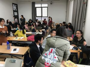
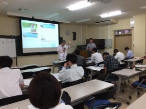
This climate vignette is just one of many available examples of how PDK, as taught by geography educators, develops capability. In the coming months the GeoCapabilities StoryMap will continue to grow with new PDK vignettes, including contributions stemming from recent workshops held in Japan and China. Over time the goal of the StoryMap is to provide an internationally-diverse library of resources that demonstrate the “power” of geographical knowledge. Readers interested in learning more, or potentially contributing vignettes of their own, are invited to contact the GeoCapabilities project using this form.


Please visit www.geocapabilities.org to learn more about the project and to try out the training modules.

Leave a Reply